March 7, 2019
By Elizabeth Norikane, East Africa Communications Specialist with contributions from Andrew Zacharias, Deputy Director of Monitoring and Evaluation
When standing in a Forest Garden, you can feel the life around you. Each year, it becomes greener, lusher, and more vibrant. However, measuring this growth is challenging. While counting trees and discussing soil health with farmers are useful indicators, we continue exploring better ways to assess our environmental impact.
Using Technology for Better Monitoring
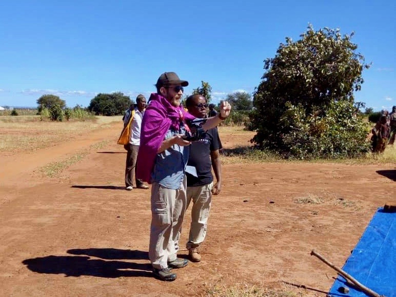
For years, TREES has used emerging technologies to improve project monitoring and evaluation. In 2014, we introduced a mobile data collection system that enables TREES technicians to gather data in remote areas. This system allows them to complete thousands of surveys annually, keeping the organization updated on participants’ progress and impact. As technology evolves, TREES carefully assesses new applications to enhance its work, always seeking innovative ways to learn and share information.
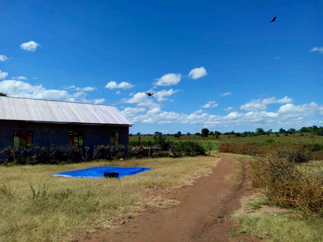
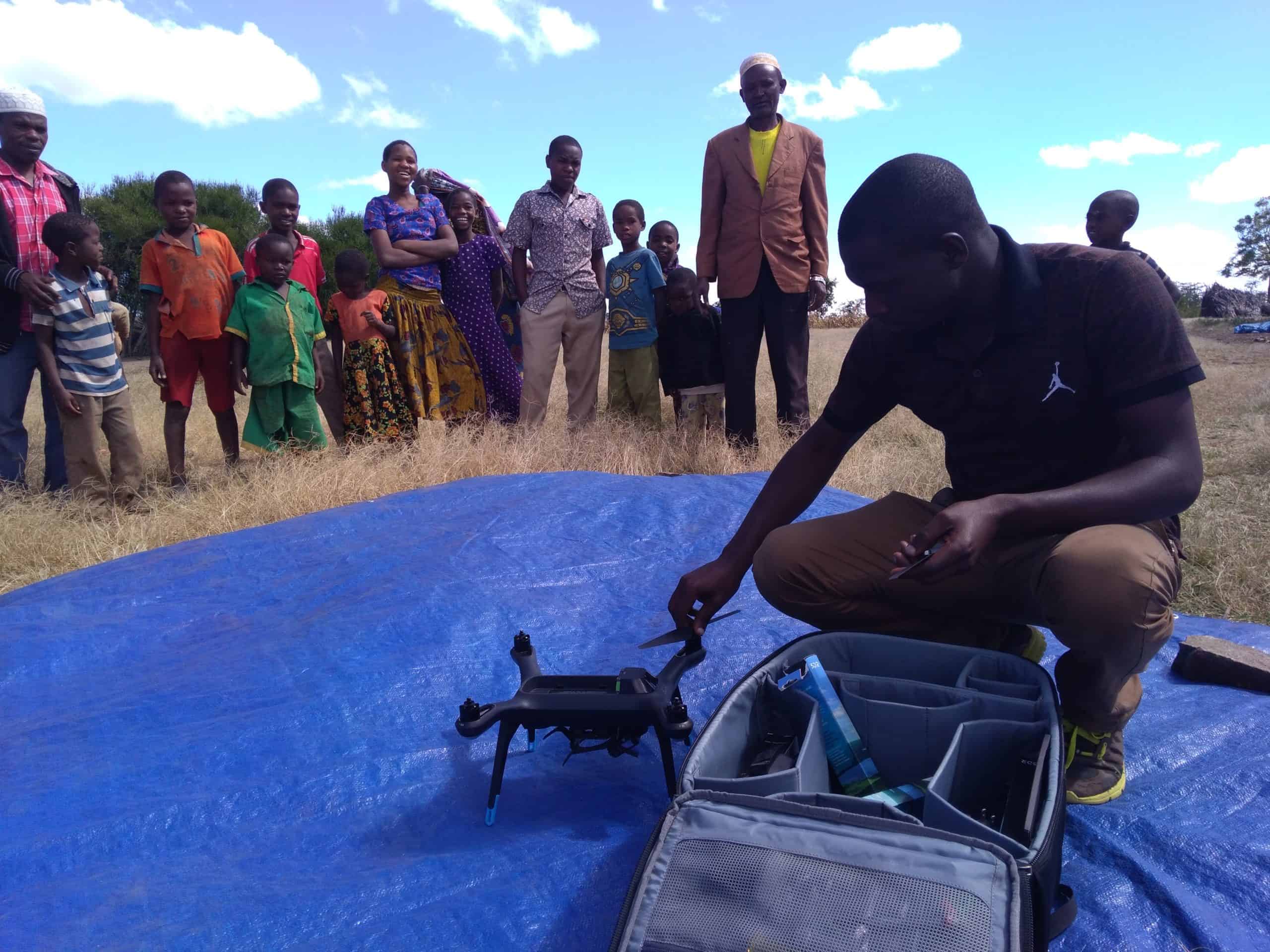
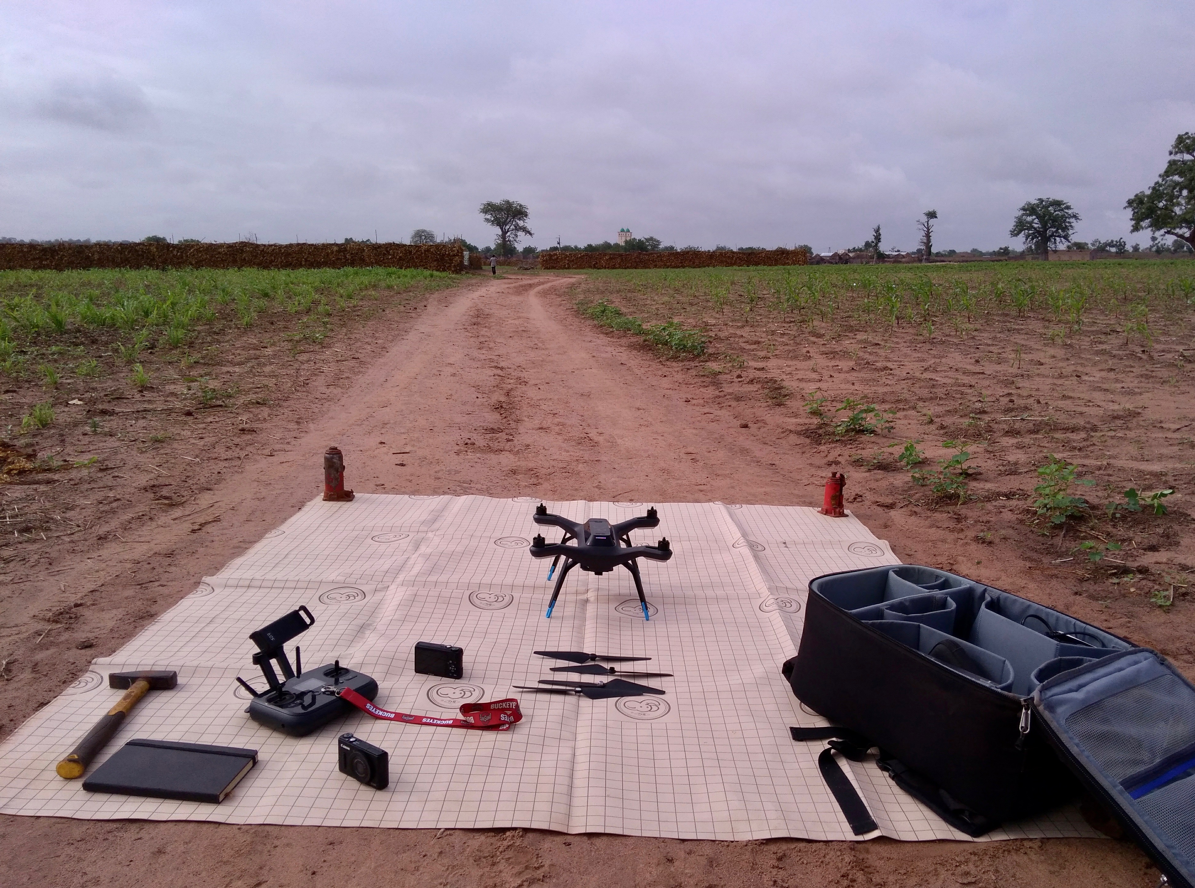
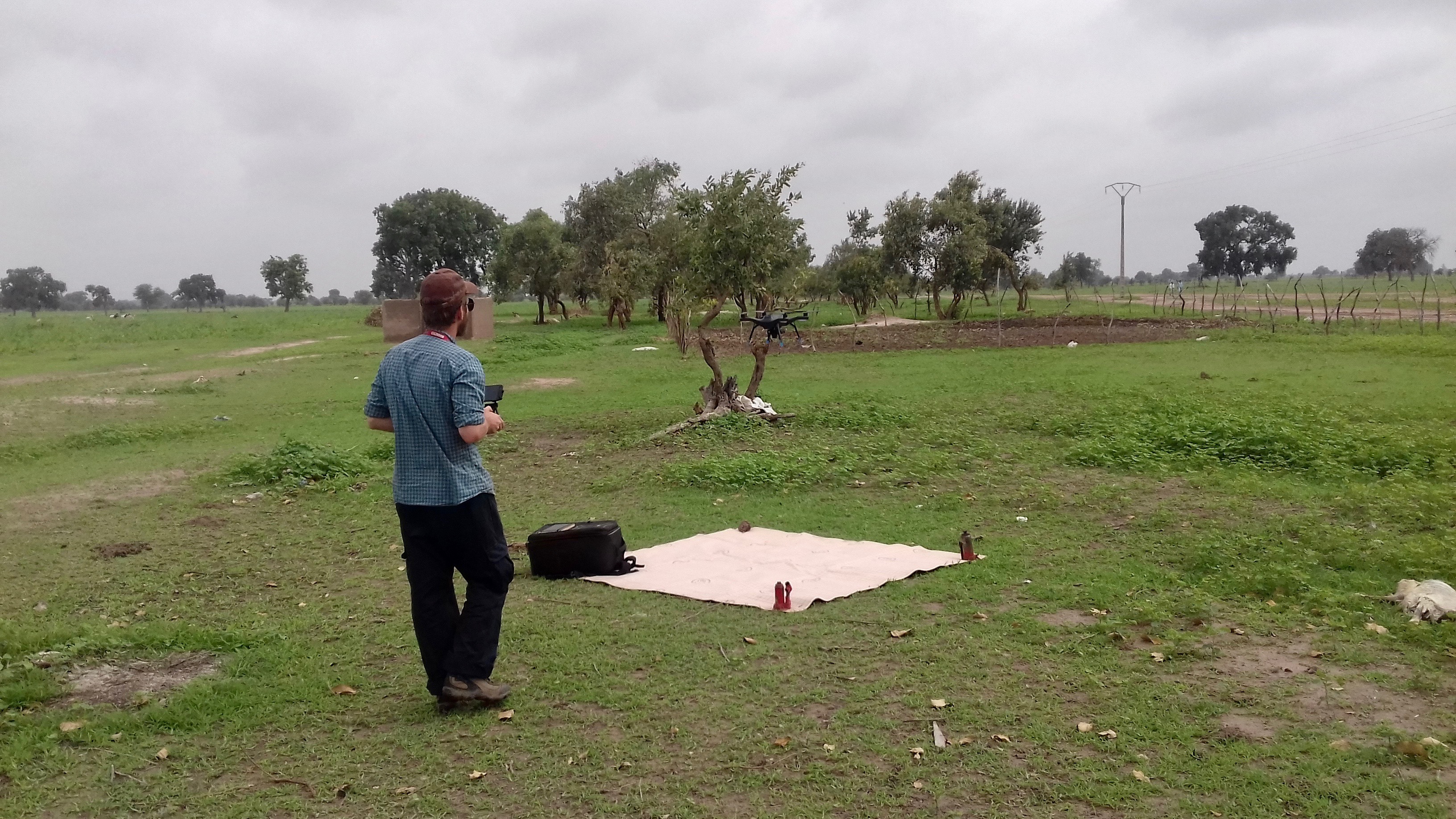
One exciting new approach TREES is using to measure impact is drones, also called Unmanned Aerial Vehicles (UAVs). In agriculture, drones have transformed how farmers monitor crops. They fly under cloud cover and close to the ground, using photogrammetry — measuring through photographs — to assess key indicators. Farmers use drones to track crop health, estimate yields, monitor weather patterns, and evaluate environmental impact.
Tracking the Forest Garden’s Environmental Benefits
At TREES, we specifically measure the impact of the Forest Garden Approach (FGA) on people, profit, and the planet. We already track food security, dietary diversity, economic resilience, and agricultural production. Recently, we began using drones to monitor the physical changes in farmers’ fields. One key measurement is the Leaf Area Index (LAI), which evaluates a Forest Garden’s ability to store water and maintain microclimates — localized climates that differ from the surrounding area.
Creating a microclimate is an environmental success of the FGA. In these areas, water retention improves, extending food production periods. Increased vegetation from the Forest Garden directly influences air temperature, humidity, and soil health. A dense tree canopy blocks wind and sunlight from reaching the soil, helping retain moisture and prevent erosion. In short, a higher LAI leads to better growing conditions.
Traditionally, calculating LAI requires cutting vegetation. Since we want to avoid damaging our farmers’ plots, we developed a method to analyze drone images instead. These images are processed through software that distinguishes between synthetic materials, soil, and plant life.
Pilot Project in Tanzania
We first introduced drone monitoring in 2018 at our project sites in Singida, Tanzania — a tropical savannah with low rainfall and challenging growing conditions. Drone data revealed that most new farmers had little or no leaf cover, confirming the difficulties seen on the ground. The fields were mostly barren, except for weeds or leftover cornhusks. When crops were planted, they were often single cash crops grown unsustainably. This caused the sun to scorch fields during dry seasons and rain to wash away topsoil during wet seasons.
Fortunately, as Forest Gardens grow, their LAI increases, creating microclimates that protect soil, retain moisture, and cool temperatures — allowing plants to thrive.
We are excited to expand our data collection and further prove the effectiveness of the Forest Garden Approach. TREES has extensive data on food security, dietary diversity, economic resilience, and productivity, confirming two of our three pillars: people and profit. Now, with drone technology, we can measure our final pillar: planet.
Our next goal is to expand monitoring beyond Tanzania, tracking how farmers’ lands transform through our program — improving lives and restoring the planet at the same time.